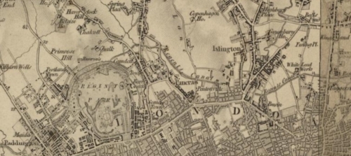
1805–1845
Explore Interactive MapsInteractive Georgian Ordnance Survey Maps
Full search functionality to explore the Old Series / First Edition one-inch Ordnance Survey maps of England and Wales - alongside modern aerial imagery.
Discover Victorian and Georgian Ordnance Survey maps, detailed county mapping and rare historic maps. Search a place, postcode or coordinate to explore the landscape and archaeology around it.
Browse ARCHI's historic mapping collections, from early Ordnance Survey sheets to rare seventeenth- and eighteenth-century maps.
Full search functionality to explore the Old Series / First Edition one-inch Ordnance Survey maps of England and Wales - alongside modern aerial imagery.
Old Series / First Edition one-inch Ordnance Survey maps of England and Wales. Browse the original OS 1-inch map sheets individually at high resolution to see the finest available detail.
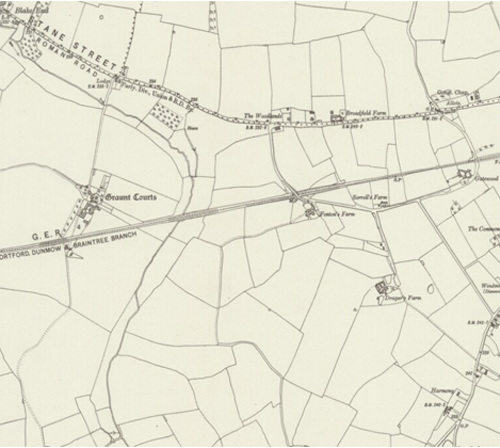
Explore Britain's First Series Ordnance Survey mapping alongside archaeological and historic site locations.
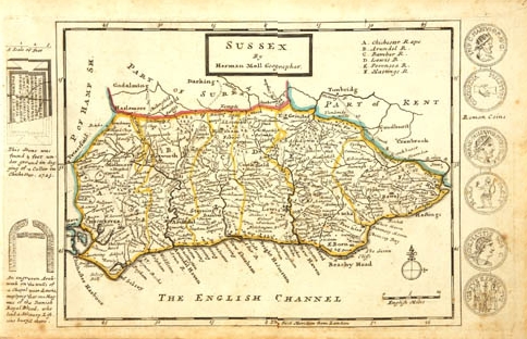
A collection of 52 high-resolution antique English county maps by cartographer Herman Moll.
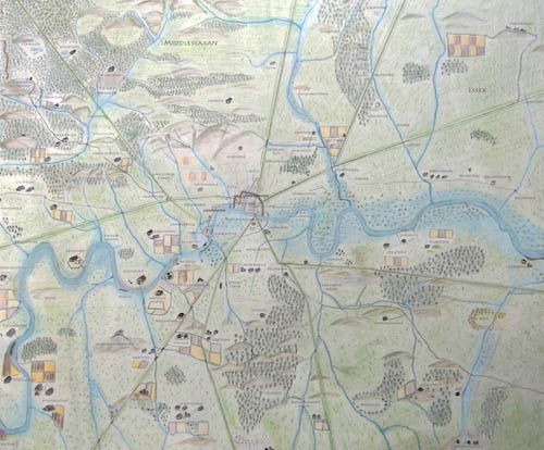
Explore London's Anglo-Saxon settlements and the major Roman roads that shaped the later city.
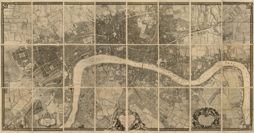
Explore John Rocque's exceptionally detailed eighteenth-century map of London.
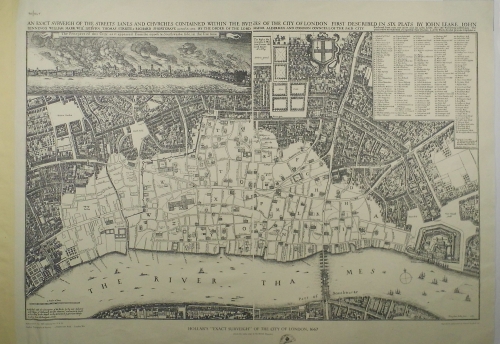
A remarkable seventeenth-century view of London produced just after the Great Fire.
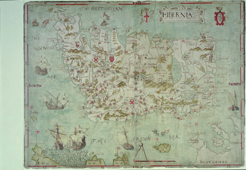
High-resolution early maps showing historic Irish lands and landscapes.
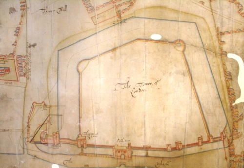
An early plan showing the Tower, gates, bulwark, wharf, surrounding streets and neighbouring settlements.
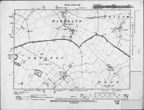
Select a historic county to browse highly detailed Ordnance Survey mapping at six inches to the mile.