Explore Britain Through the Ordnance Survey Old Series Maps (1805–1845)
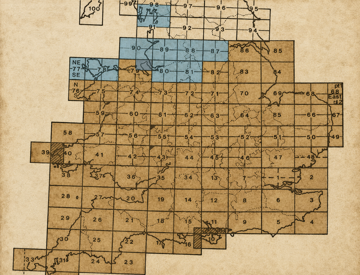
The map below is a visual index to the historic Ordnance Survey Old Series maps of England and Wales. Simply click on any numbered sheet to view a detailed map of that area and discover how the landscape appeared nearly 200 years ago.