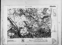
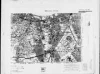
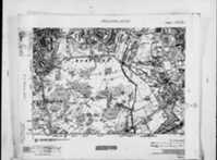
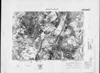
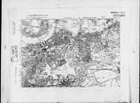
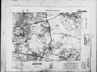
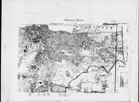
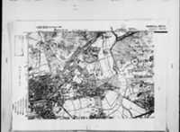
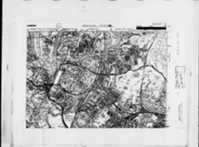
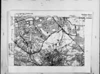
Click the image thumbnail(s) below for the set of Ordnance Survey Victorian old / early / old maps of London
Detailed Old Map of LONDON, London SE16 1AA, SE161AA in LONDON, Lewisham, Southwark, London, England (UK) is amongst the map images below of the Second Series Ordnance Survey 6 inch to 1 mile Old Maps (1902-1930)
More old maps of SE16 1AA, SE161AA in LONDON, Lewisham, Southwark, London, England, England, including detailed Victorian (1880-1902) and Georgian (1805-1845) Ordnance Survey maps can be viewed on our ARCHI MAPS UK website.
Old Map Search: Locational Details (Tue May 7 23:59:06 2024)
LONDON, London, England
Decimal Latitude/Longitude (WGS84): 51.491795, -0.042421
SE16 1AA / SE16 1AA
Detailed Old Map of london Ordnance Survey (OS) Map Sheet 1 SE (Sheet I SE) 6 inch to a mile (Edition 2, 1920)
Detailed Old Map of london Ordnance Survey (OS) Map Sheet 8 SE (Sheet VIII SE) 6 inch to a mile (Edition 2, 1902-1930)
Detailed Old Map of london Ordnance Survey (OS) Map Sheet 8 SW (Sheet VIII SW) 6 inch to a mile (Edition 2, 1902-1930)
Please help us to keep this service free with a donation! Thank You SO much.
Detailed Old Map of london Ordnance Survey (OS) Map Sheet 9 SE (Sheet IX SE) 6 inch to a mile (Edition 2, 1902-1930)
Detailed Old Map of london Ordnance Survey (OS) Map Sheet 10 NW (Sheet X NW) 6 inch to a mile (Edition 2, 1914-1938)
Detailed Old Map of london Ordnance Survey (OS) Map Sheet 10 SE (Sheet X SE) 6 inch to a mile (Edition 2, 1902-1930)
Detailed Old Map of london Ordnance Survey (OS) Map Sheet 10 NE (Sheet sX_qNE-sXI_qNW NE) 6 inch to a mile (Edition 2, 1902-1930)
Detailed Old Map of london Ordnance Survey (OS) Map Sheet 12 NW (Sheet XII NW) 6 inch to a mile (Edition 2, 1913-1914-1938)
Detailed Old Map of london Ordnance Survey (OS) Map Sheet 13 NE (Sheet XIII NE) 6 inch to a mile (Edition 2, 1902-1930)
Detailed Old Map of london Ordnance Survey (OS) Map Sheet 14 NW (Sheet XIV NW) 6 inch to a mile (Edition 2, 1914-1938)
