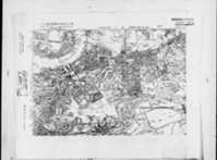
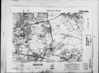
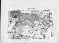
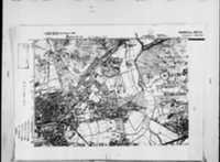
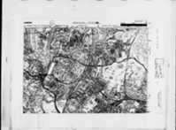
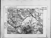
Detailed Old Maps of LONDON, London, UK (NW8 8LB) (OS 6inch 2nd Series (1903-1930))
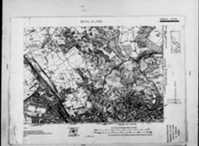
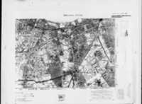
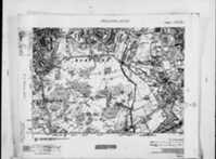
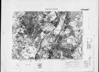
Click the image thumbnail(s) below to view the full set (10) of Ordnance Survey Victorian old / early / old maps of London including the area of LONDON, London, UK (NW8 8LB)
TIP: For earlier, higher resolution and more detailed Old Ordnance Survey (OS) Maps of LONDON, London, UK (NW8 8LB) and local historical sites and monuments, click this link.
The Detailed Old Ordnance Survey Map of LONDON, London (1903-1930) is amongst the set of 10 images below of the 2nd Edition 6 inch to 1 mile Ordnance Survey Old Maps of London (1903-1930).
Important Note: This map series (ie OS 6in 2nd Edn) has not been specifically geo-referenced. Hence, the ARCHI system has attempted to calculate the boundaries of the specific maps which potentially show LONDON, London. It has worked out that one of the first 1 images below of the full set of images, is the most likely to show the particular OS 6 inch 2nd Edition map of this place and surrounding area.
1: Detailed Victorian / early 19th century Old map of area around LONDON, London, UK (NW8 8LB):
Please make a donation of £3 to help us keep these maps free. Thanks!
Below are all the full set of the 6 inch 2nd Edition Ordnance Survey (OS) Old Maps of London (1903-1930).
Detailed Old Map of london Ordnance Survey (OS) Map Sheet 1 SE (Sheet I SE) 6 inch to a mile (Edition 2, 1920)
Please make a donation of £3 to help us keep these maps free. Thanks!
Detailed Old Map of london Ordnance Survey (OS) Map Sheet 8 SE (Sheet VIII SE) 6 inch to a mile (Edition 2, 1902-1930)
Detailed Old Map of london Ordnance Survey (OS) Map Sheet 8 SW (Sheet VIII SW) 6 inch to a mile (Edition 2, 1902-1930)
Detailed Old Map of london Ordnance Survey (OS) Map Sheet 9 SE (Sheet IX SE) 6 inch to a mile (Edition 2, 1902-1930)
Detailed Old Map of london Ordnance Survey (OS) Map Sheet 10 NW (Sheet X NW) 6 inch to a mile (Edition 2, 1914-1938)
Detailed Old Map of london Ordnance Survey (OS) Map Sheet 10 SE (Sheet X SE) 6 inch to a mile (Edition 2, 1902-1930)
Detailed Old Map of london Ordnance Survey (OS) Map Sheet 10 NE (Sheet sX_qNE-sXI_qNW NE) 6 inch to a mile (Edition 2, 1902-1930)
Detailed Old Map of london Ordnance Survey (OS) Map Sheet 12 NW (Sheet XII NW) 6 inch to a mile (Edition 2, 1913-1914-1938)
Detailed Old Map of london Ordnance Survey (OS) Map Sheet 13 NE (Sheet XIII NE) 6 inch to a mile (Edition 2, 1902-1930)
Detailed Old Map of london Ordnance Survey (OS) Map Sheet 14 NW (Sheet XIV NW) 6 inch to a mile (Edition 2, 1914-1938)

